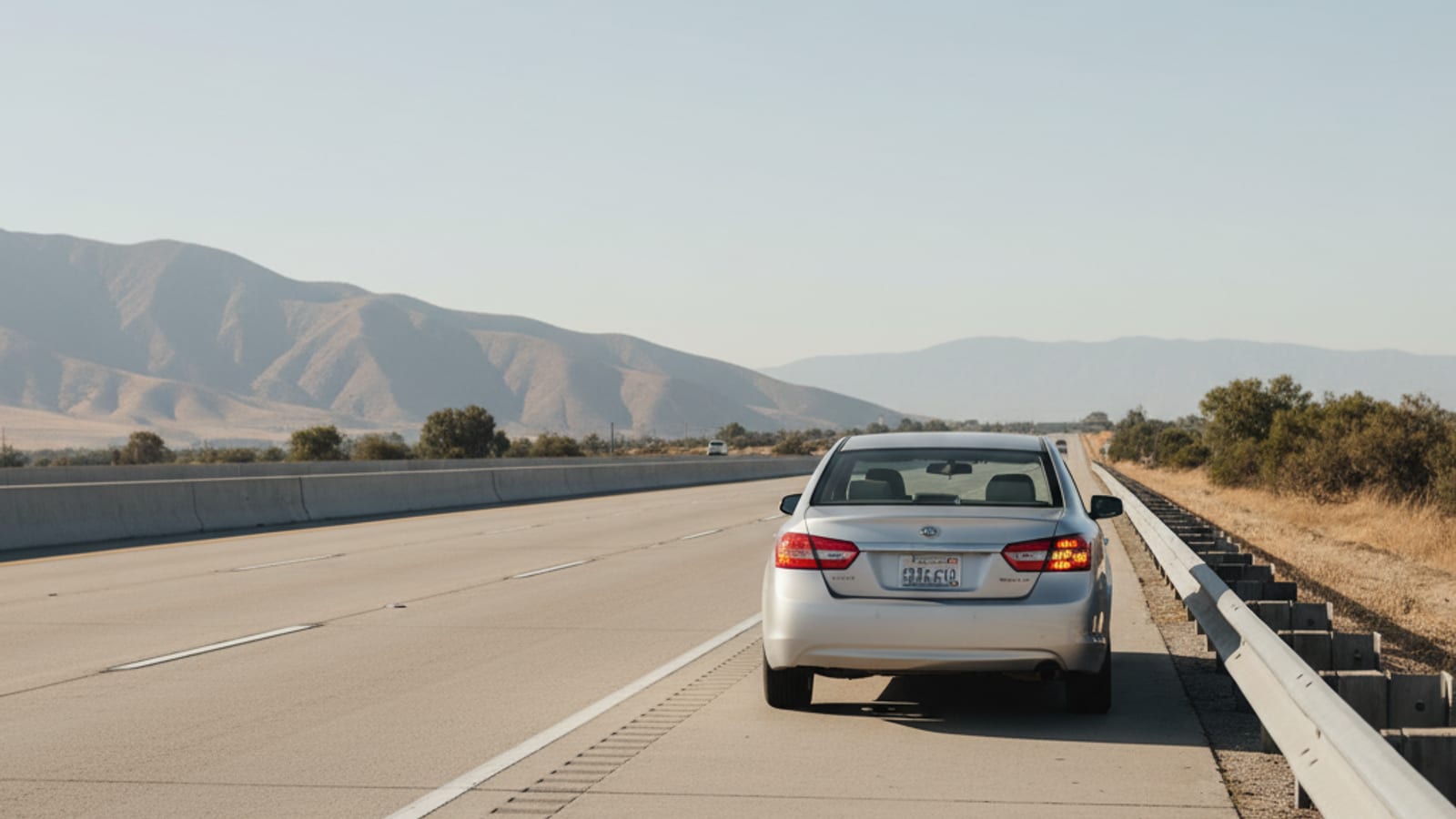
Hazards on the second something feels off, before you’re sure it’s serious. If you’re still rolling, work toward the shoulder or the nearest exit rather than stopping where you are. If the car dies in a live lane and you can’t get clear, stay belted in. Getting out onto I-44 with 65,000 vehicles a day moving past you is more dangerous than sitting still. Once you’re actually stopped and it’s safe, call from inside the car. I-44 wraps the north and west edge of Springfield, and this stretch carries more trucks per day than almost anywhere else in southwest Missouri, which changes what a breakdown here actually looks like.
Missouri’s longest interstate runs straight through the middle of this
I-44 is 293 miles long in Missouri, the longest interstate in the state, and Springfield sits roughly in the middle of it on the run from St. Louis to Joplin and on into Oklahoma. Through the Glenstone-to-Kansas Expressway segment, more than 65,000 vehicles travel this stretch every day. More than 15,000 of them, about 23 percent, are semi-trucks. That’s not a rough estimate, it’s the Ozarks Transportation Organization’s own freight-corridor count for this exact segment, and it’s the number that explains why an ordinary breakdown here so often means sharing a shoulder with an 18-wheeler doing the same thing.
The practical version: hazards on immediately, and if the car is still moving, work toward the right shoulder or the next exit rather than stopping mid-lane. Once you’re stopped, whether that’s on the shoulder or, worse, still in a live lane, stay belted in. Springfield’s own 2025 crash data lists the I-44 westbound stretch between Broadway and Kansas Expressway as one of the city’s higher-crash locations, and a stalled car in a travel lane on a road this busy is exactly the kind of hazard that report is tracking. Call once you’re stopped and it’s safe to do it from inside the car, not standing on the shoulder next to moving traffic.
What MoDOT’s Motorist Assist actually does, and what it won’t
MoDOT and the City of Springfield jointly run the Transportation Management Center of the Ozarks here, and MoDOT’s Motorist Assist / Emergency Response program, the state’s freeway courtesy patrol, has been based out of it since 1993. In 2022, the Springfield-based crew handled 3,260 incidents across the Southwest District’s 21 counties. Reach them at (888) 275-6636, MoDOT’s Ask MoDOT line.
That program helps clear incidents and gets stranded drivers safe attention when a unit is available. It’s a separate thing entirely from the City of Springfield’s own volunteer Motorist Assist Program, run through SPD’s volunteer unit since April 2014, which provides roadside cover and visibility for stranded motorists in an unmarked car with amber lights. Neither program tows your car anywhere. Both exist to get you and your vehicle safely out of a travel lane, not to get your car to a shop or back to your driveway. Once that part’s handled, or if you need to go straight to a real tow, that’s us. Call (417) 221-8911 once you’re stopped safely and we’ll get a truck moving toward you.
Check before you drive, not after
MoDOT’s Traveler Information Map shows live traffic speed, road-condition status, incidents, work zones, and camera feeds for I-44 through Springfield, and Missouri 511 gives you the same information by phone. A five-minute check before you commit to I-44, especially heading into a winter system or a construction window, beats finding out about a closure or a slick spot the hard way.
The Kansas Expressway diverging diamond catches people who don’t expect it
At Exit 77, I-44 meets Route 13, the Kansas Expressway, at North America’s first diverging diamond interchange, converted in 2009. The design briefly puts you on the left side of the road to eliminate left-turn conflicts, which is exactly the kind of merge pattern that trips up a driver who’s never seen one before. A few miles east, the US-65 interchange at Exit 82 is a major freeway-to-freeway flyover merge sending traffic south toward Branson and north toward Bolivar. Both interchanges see more confusion-related incidents than a standard cloverleaf would, simply because they don’t work the way most drivers expect a highway merge to work.
Winter turns this into a different road
I-44 through Springfield is an elevated, exposed freeway corridor, and that kind of road ices before the surface streets around it do. The January 2007 ice storm is the reference event for what winter can do here: 1.5 inches of ice officially recorded at NWS Springfield, with 14 counties along the I-44 corridor reporting at least an inch, and roughly 200,000 households without power in the immediate region. That’s a regional figure, not a statewide one, and it’s worth knowing the difference, because the smaller version of that same pattern shows up most winters. A bridge deck or overpass on I-44 can be glazed over while the road just before it looks clear.
Deer season adds a second kind of risk
October and November are Missouri’s peak deer-collision months, with the highest risk in the 6 to 7 a.m. and 6 to 9 p.m. windows, dawn and dusk. Statewide, 2024 saw 2,952 deer-involved crashes, including 4 deaths and 420 injuries. That’s a statewide figure, not an I-44-specific one, but Springfield sits in the middle of a metro surrounded by exactly the rural highway mileage that produces those numbers, and the fall commute overlaps directly with deer activity hours.
Why the semis matter here
Springfield is Prime Inc.’s hometown, one of the largest trucking carriers in the country, headquartered here since 1980 and running roughly 1,700 company drivers plus 7,400 independent-contractor drivers as of 2024. Combine that with I-44’s Tier 1 freight-corridor designation and MoDOT’s active $471 million Forward 44 improvement program for this corridor, and you’ve got a road built around commercial traffic first. Blown tires, dead tractor batteries, and air-line failures on the grade changes through Springfield are routine for a road carrying this much freight, which is why a heavy-duty crew that actually runs the equipment for it matters more here than on an average interstate stretch. The heavy-duty towing operators we send handle exactly that.
Heading toward Branson? The congestion starts before you’d expect
US-65 south of Springfield is the single road that funnels Branson’s roughly 9 to 10 million annual visitors toward Table Rock Lake, Silver Dollar City, and the theater strip. Where I-44 meets US-65 at Exit 82, that weekend and holiday traffic backs up onto the interstate itself, and RVs and trailers overheat easily in stop-and-go traffic they weren’t built for. If your I-44 breakdown happens near that interchange on a Friday or a holiday weekend, you’re not imagining that it’s busier than usual.
For more on what to do before your car actually dies, see our guides on emergency towing and what happens when you’re stuck near Strafford, just east of the city on I-44.
Frequently asked questions
What’s the first thing I should do if my car breaks down on I-44 in Springfield?
Put your hazards on immediately. If you’re still moving, work toward the shoulder or the next exit rather than stopping in the lane. If you’re stuck in a live lane, stay belted in. Call for a tow once you’re stopped and it’s safe to do it from inside the car.
Does MoDOT’s Motorist Assist tow my car?
No. Motorist Assist clears incidents and helps stranded drivers when a unit is available, but it doesn’t tow vehicles to a shop or home. Neither does the City of Springfield’s separate volunteer Motorist Assist Program. Both provide roadside help and visibility, not a tow. That’s a private tow, and that’s us.
How many trucks actually use this stretch of I-44?
More than 65,000 vehicles a day travel the Glenstone-to-Kansas Expressway segment, and more than 15,000 of them, about 23 percent, are semi-trucks, per the Ozarks Transportation Organization.
Why does the Kansas Expressway interchange confuse so many drivers?
It’s North America’s first diverging diamond interchange, converted in 2009. It briefly shifts you to the left side of the road to eliminate left-turn conflicts, which catches drivers who’ve never driven one before.
Is I-44 more dangerous in winter?
It’s an elevated, exposed freeway corridor that ices before surface streets do, especially on bridges and overpasses. The January 2007 ice storm, with 1.5 inches of ice recorded at NWS Springfield and roughly 200,000 households without power in the region, is the reference event for how bad it can get.
When is deer season on I-44 near Springfield?
October and November are Missouri’s peak months statewide, with the highest risk at dawn (6 to 7 a.m.) and dusk (6 to 9 p.m.).